MEASURING NATURE VIA SATELLITE
Notice: Undefined index: options in /home/xs999583/sustainaseed.net/public_html/db.sustainaseed.net/wp-content/themes/dlist/inc/directorist-support.php on line 318
Notice: Trying to access array offset on value of type null in /home/xs999583/sustainaseed.net/public_html/db.sustainaseed.net/wp-content/themes/dlist/inc/directorist-support.php on line 318
Notice: Trying to access array offset on value of type null in /home/xs999583/sustainaseed.net/public_html/db.sustainaseed.net/wp-content/themes/dlist/inc/directorist-support.php on line 318
What we do
We Analyze And Create Insights On Nature
We deliver advanced insights into the effect that nature has on it's environment. By using AI on satellite images, we are able to measure in seconds, what would have taken weeks or months to measure manually.
CARBON OFFSETS
PROJECTS
Genvision measures carbon capture for carbon offset projects. We locate each individual tree on a satellite image, then we identify their characteristics: species, height, diameter. This data allows us to calculate the tree's exact carbon capture.
SUSTAINABLE
CITIES
Genvision enables smart cities to quantify the benefits of their trees, and to plan the planting of new trees to maximise these benefits. We determine the effect of trees on heat islands, carbon capture, health and more.
Company's story
Our Specialty
A Different Approach,
Creating Results At Scale
By leveraging the power of satellite imagery, we have the unique opportunity to gain insights on a scale that's never seen before. We aim to revolutionizing the way we understand and interact with our planet.
Creating Results At Scale
By leveraging the power of satellite imagery, we have the unique opportunity to gain insights on a scale that's never seen before. We aim to revolutionizing the way we understand and interact with our planet.
Our story
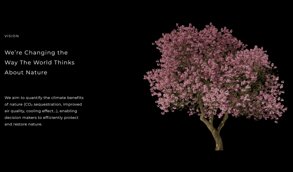
We’re Changing the Way The World Thinks About Nature
We aim to quantify the climate benefits of nature (CO₂ sequestration, improved air quality, cooling effect...), enabling decision makers to efficiently protect and restore nature.
We aim to quantify the climate benefits of nature (CO₂ sequestration, improved air quality, cooling effect...), enabling decision makers to efficiently protect and restore nature.
General Information
Gallery


